 Lake Francis Case Cruising Guide
|
|
|
|
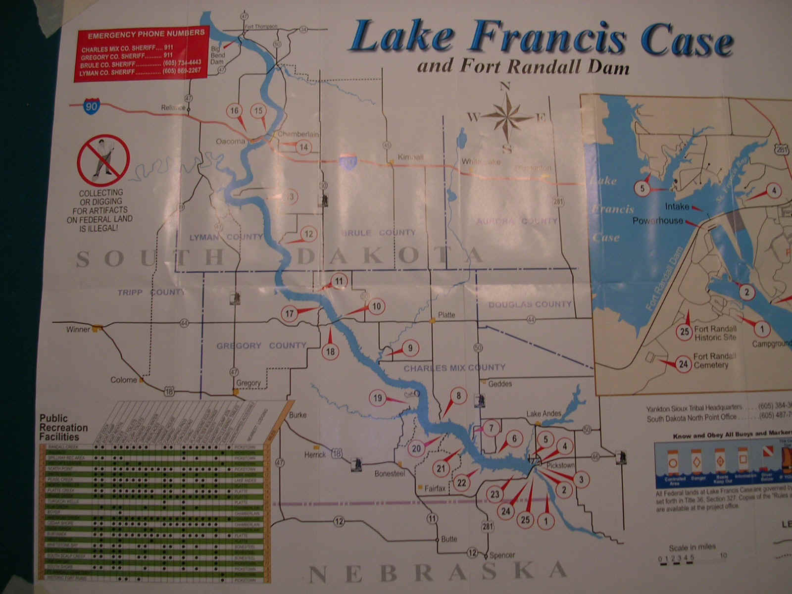
ChartsA comprehensive, 25 sheet chart set is available from US Army Corps of Engineers. Some local fishing suppliers in the area carry this set and it is also available from their website for $5.50 plus shipping. Sometimes this chart is available at the Visitor’s Center ( #4). LAKE
FRANCIS CASE BOATING & RECREATION MAP (1997) 25 sheets. Also available is a one page foldout brochure published by the Army Corps showing the Lake and Recreation Areas. This is free at many local businesses and at the Visitor's Center (#4). A copy of this brochure is shown on this website with references to the numbered Recreation Areas. |